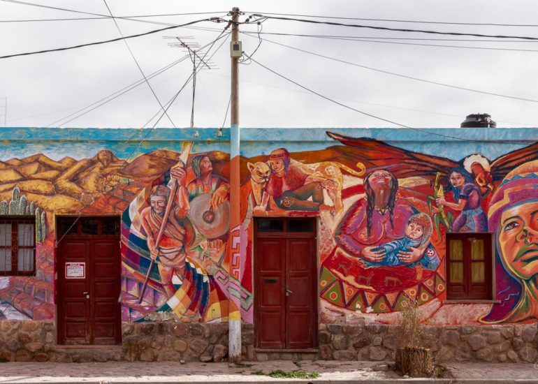
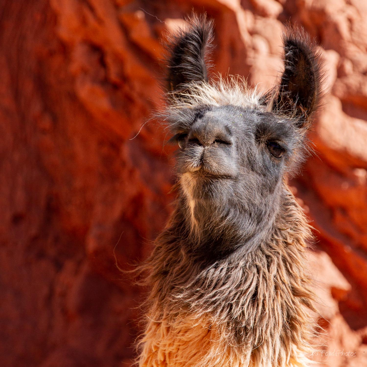
North of Salta, passed Jujuy, lies the Quebrada de Humahuaca, a narrow mountain valley 150 km long. It follows the line of a major cultural route, the Camino Inca, along the spectacular valley of the Rio Grande.
Several interesting towns and villages are located along the Quebrada, like Purmamarca, Tilcara and Humahuaca, close to the border with Bolivia.
Purmamarca
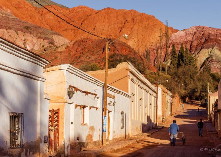
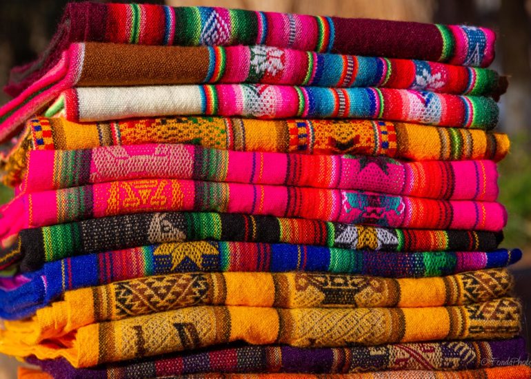
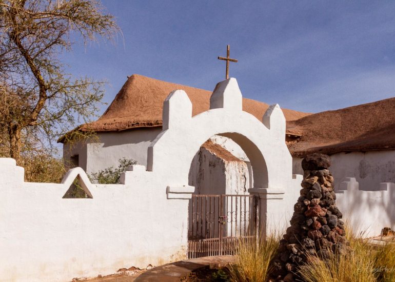
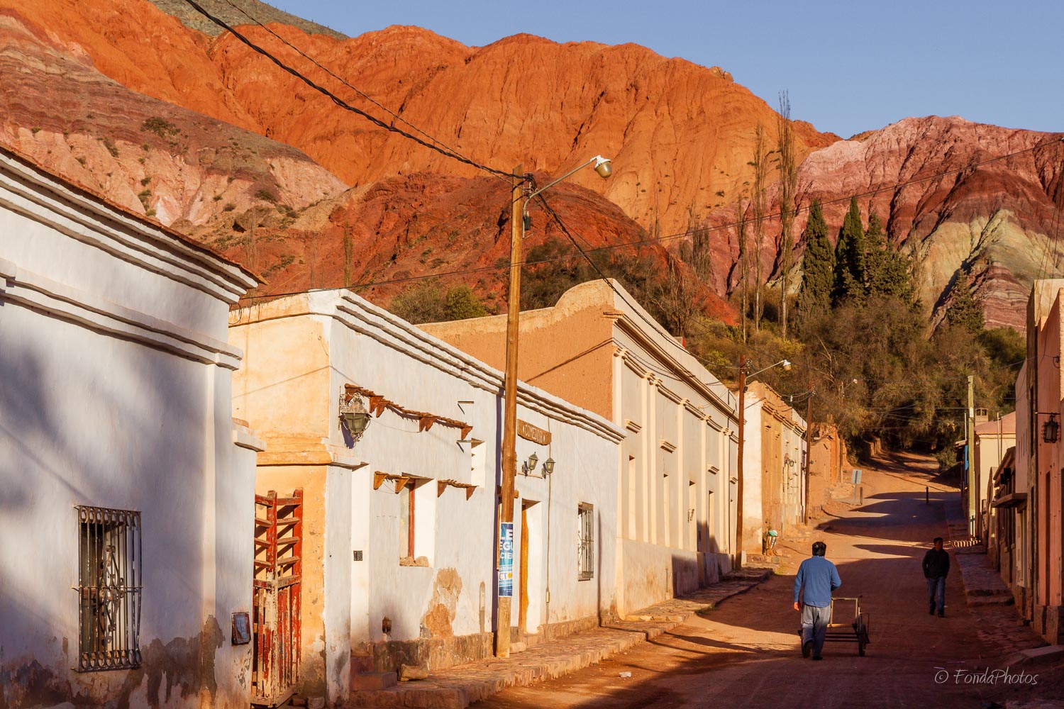
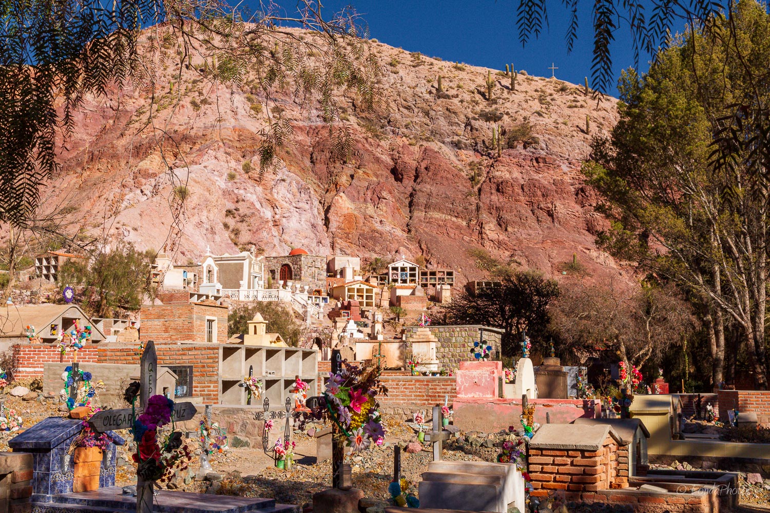
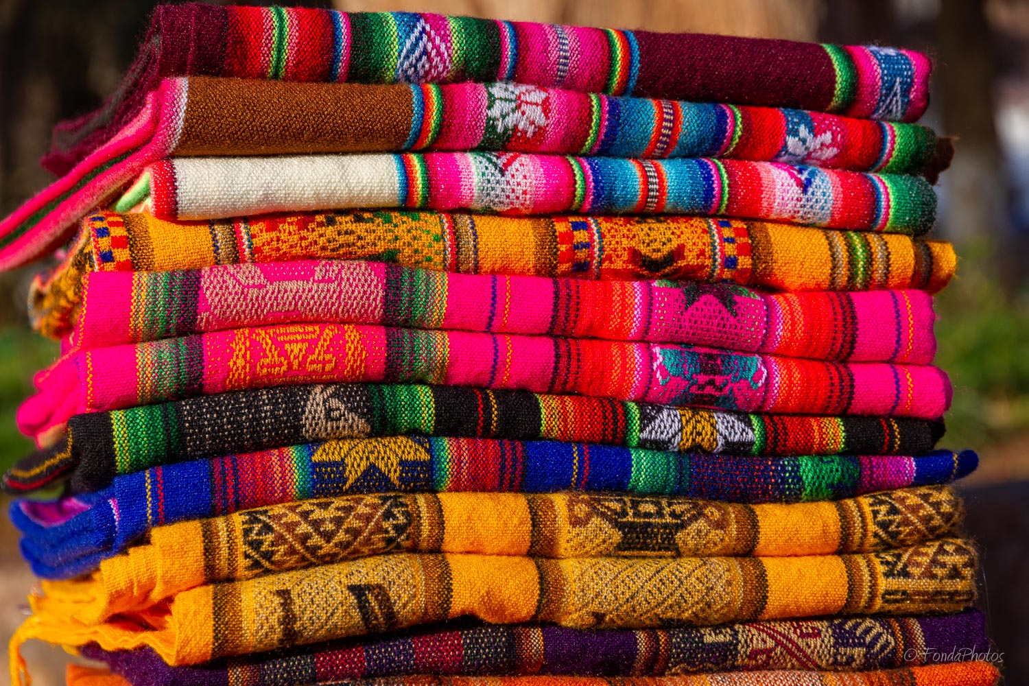
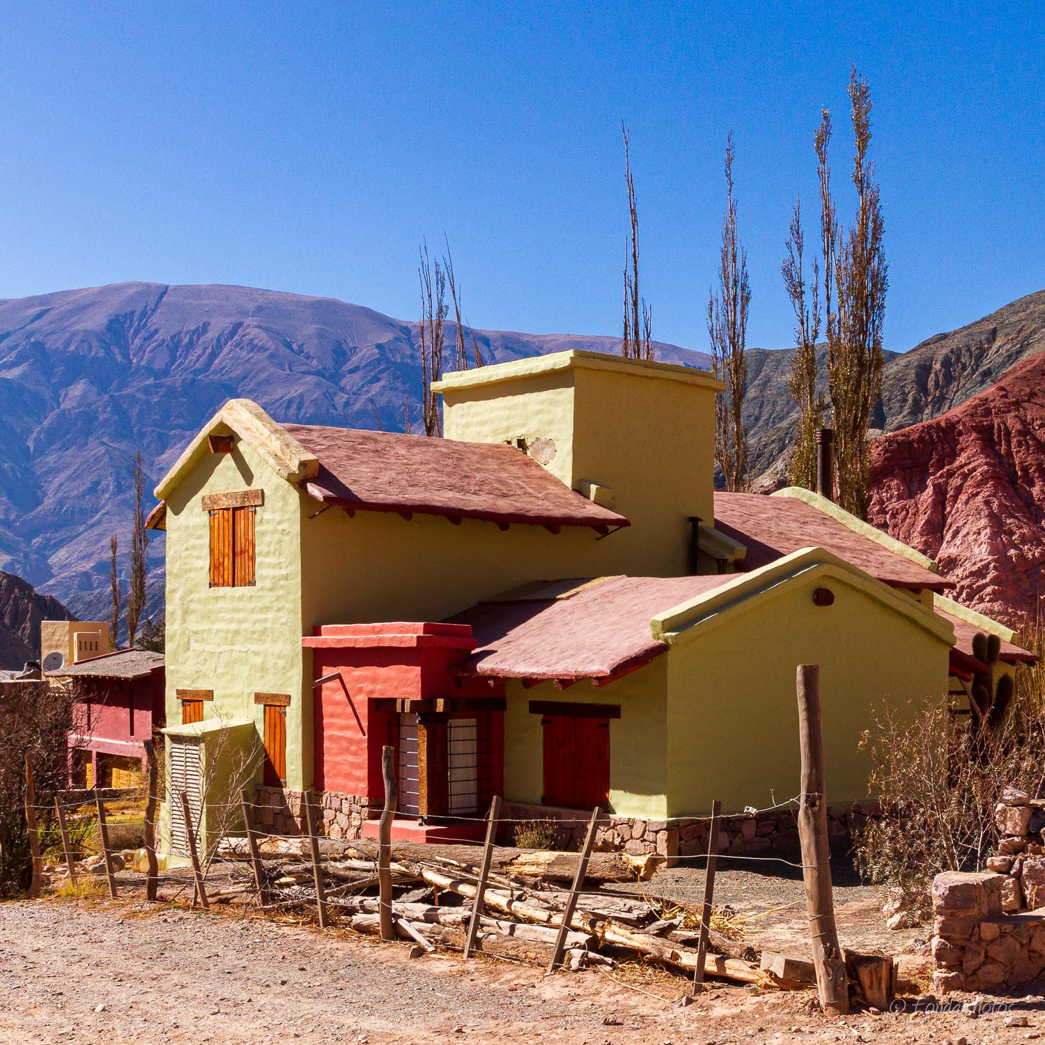
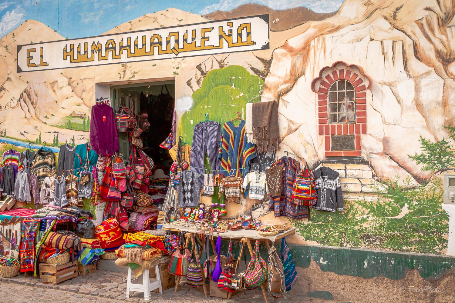
Purmamarca is a quaint village situated at the beginning of Route 52. The village is postcard-pretty, with adobe houses and ancient algarrobo trees plus a bijou 17th century church. If you want to shop for woven goods, Purmamarca is an excellent place! A flourishing market sets up on the village plaza every day. There you can find very colorful aguayos, a rectangular carrying cloth used in traditional communities in the Andes region. Aymara and Quechua people carry small children or all kinds of items on their backs with it.
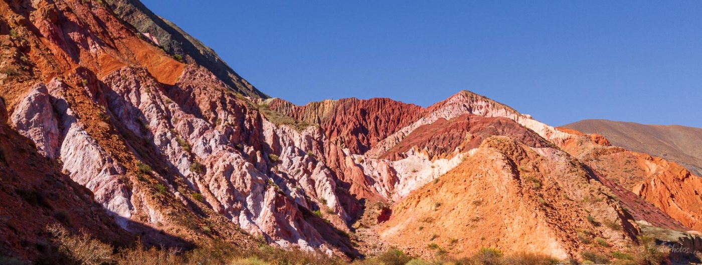
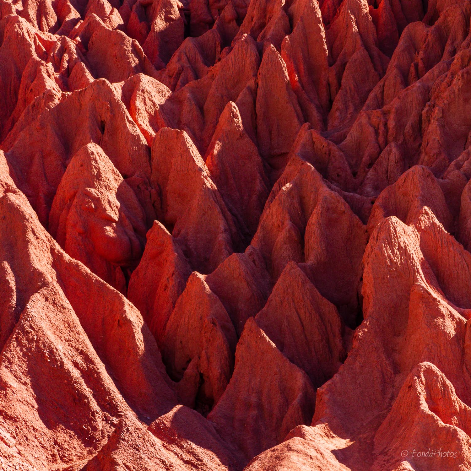
Purmamarca is surrounded by the Cerro de los Siete Colores (Hill of Seven Colors) which shows its colorful face to the town. The best way to admire it is to take a walk on the Paseo de los Colorados, a short trek around town.
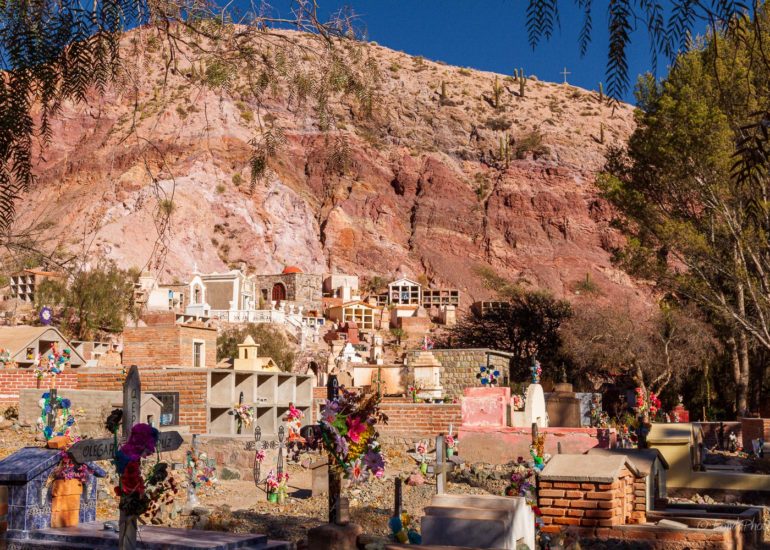
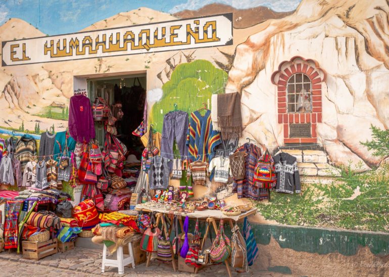
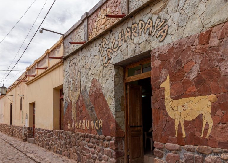
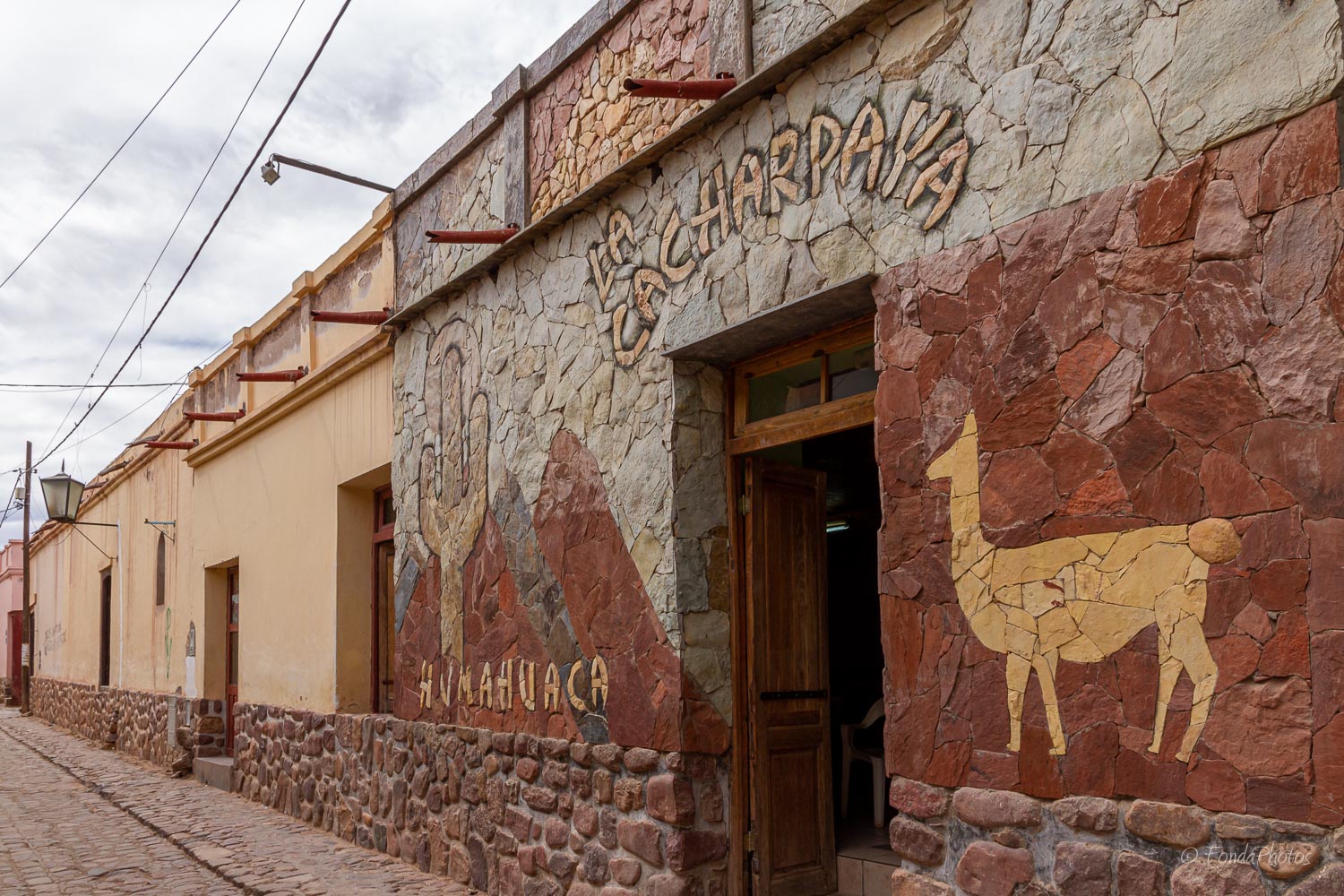
Humahuaca
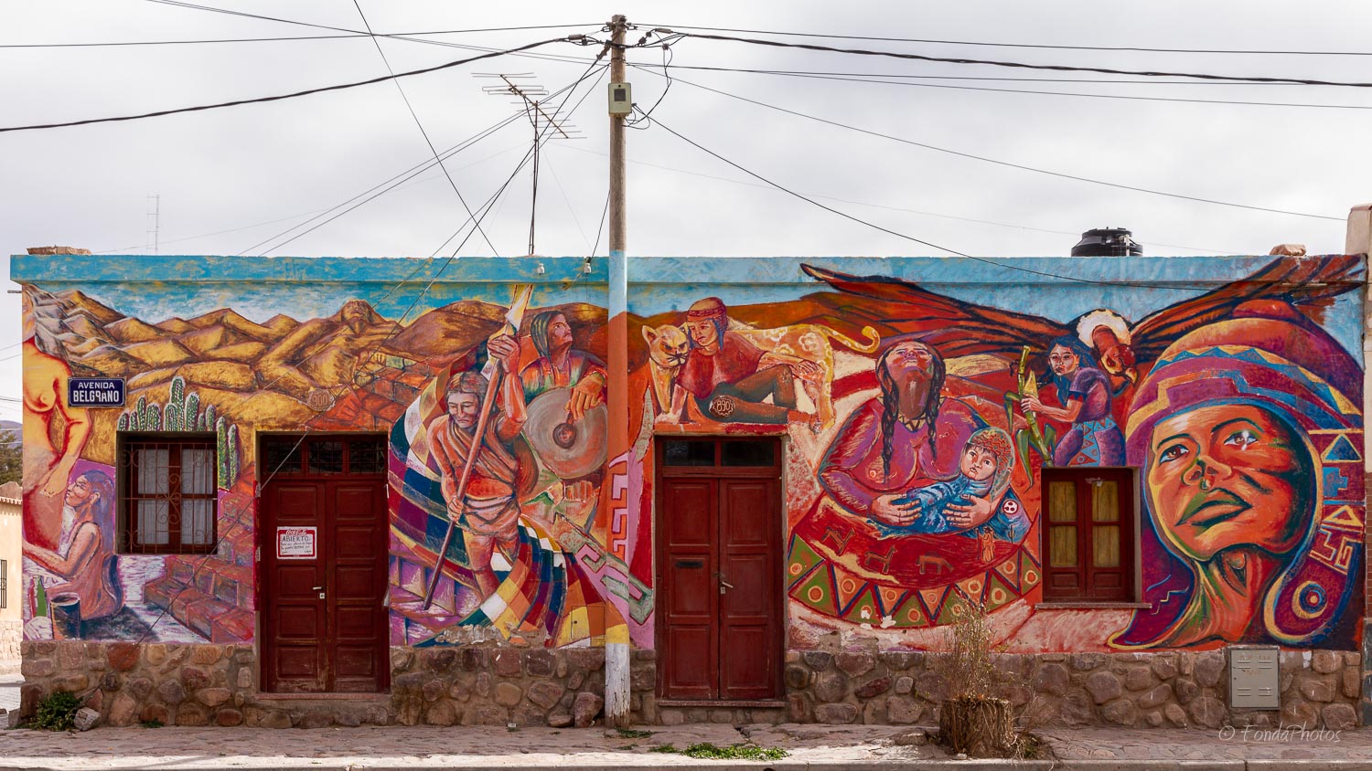
This colonial town along the beautiful Quebrada de Humahuaca was founded in the late 1500s. However indigenous people have inhabited this land for thousands of years. Humahuaca became a hotspot for trade and later revolutionary activity during Argentina’s War of Independence, but now tourists use it as a jumping off point for exploring the area.
Route 52 to Paso de Jama
Paso de Jama is a mountain pass through the Andes between Chile and Argentina, with an altitude of about 4,300 m at the border. It is the northernmost road border crossing between the two countries. The pass connects Route 27 in Chile and National Route 52 in Argentina.
Route 52 opened on 6 December 1991, and is paved throughout since the year 2005. It is opened all year round, although occasionally closed by snow. With a total length of 400 km, it is part of a major South American infrastructure called Capricorn Axis. This explains why trucks and auto carriers in particular use this route to transport goods between the ports of northern Chile and northern Argentina and Paraguay.
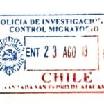
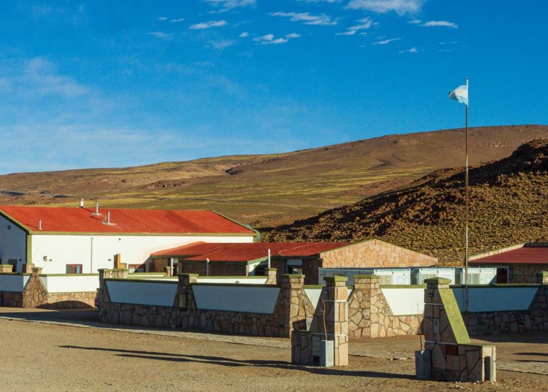
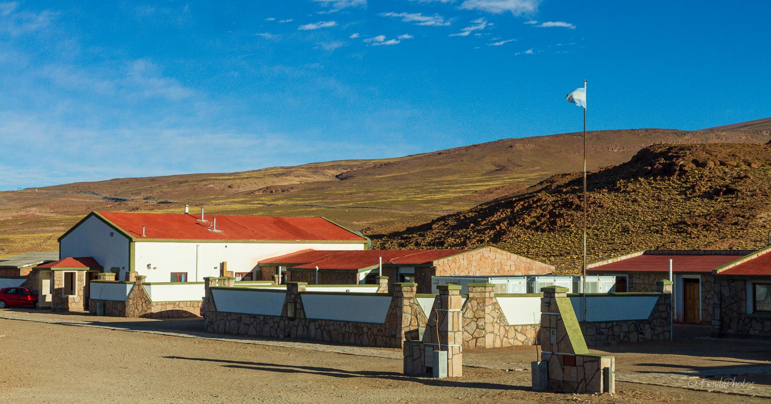
The Argentina border post stands just below the pass in the small settlement of Jama. At the other extremity, the Chilean border post is located at San Pedro de Atacama, 160 km from the pass.
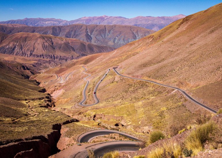
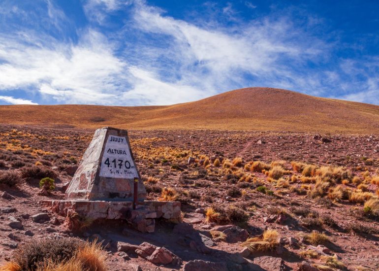
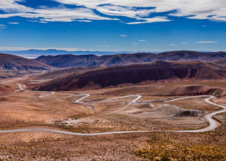
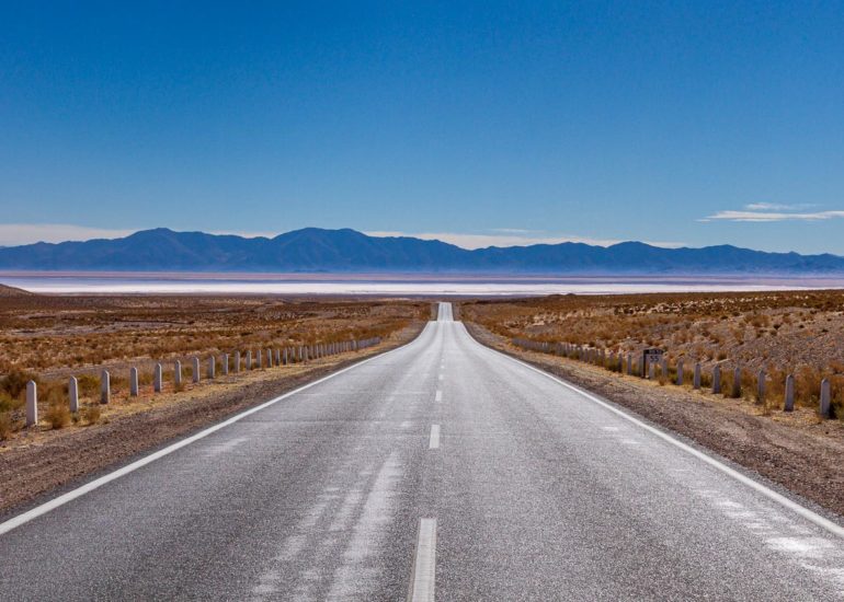
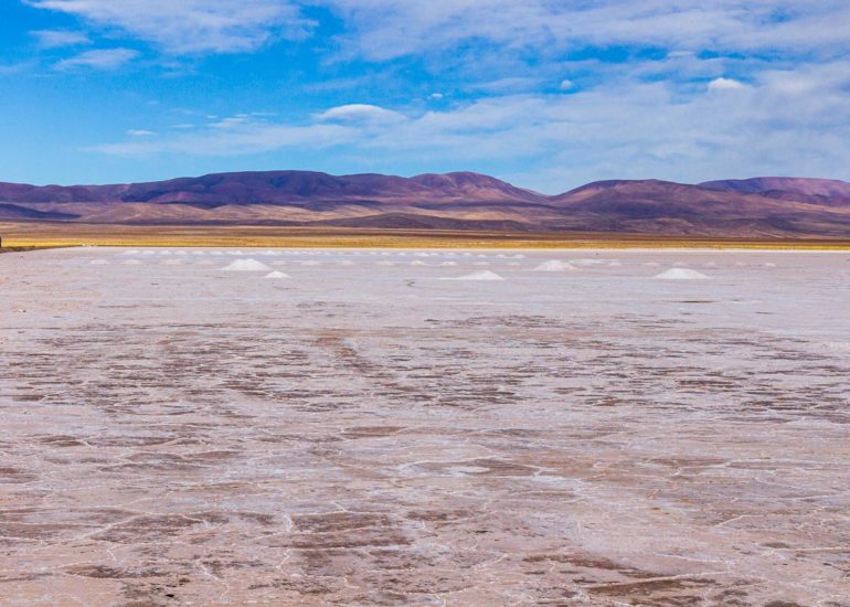
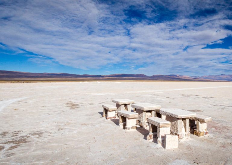
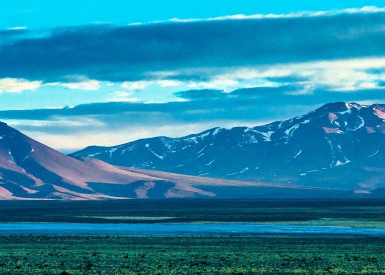
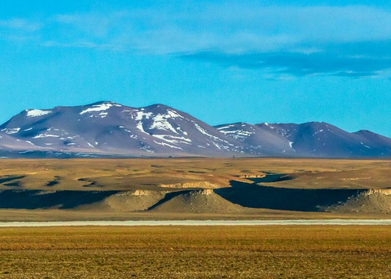
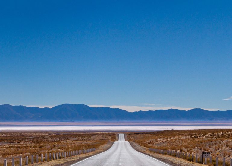
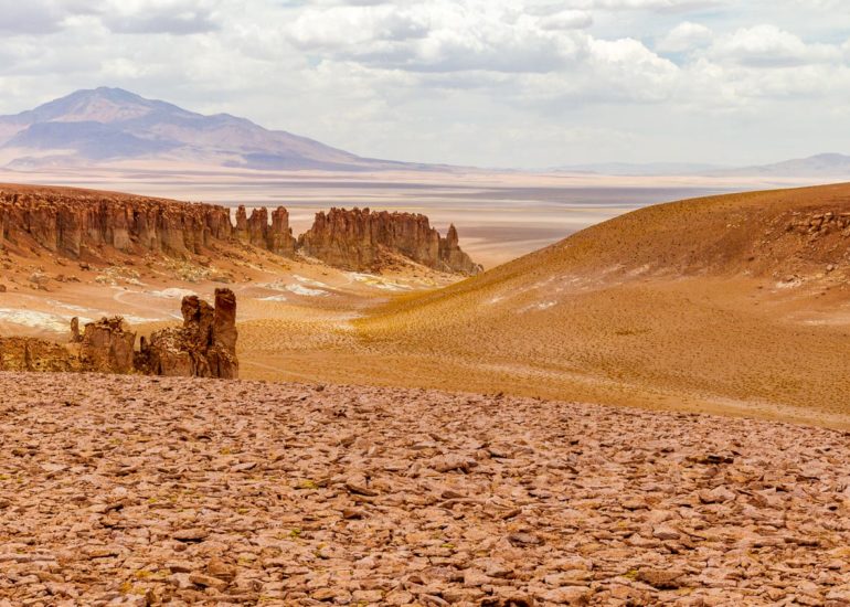
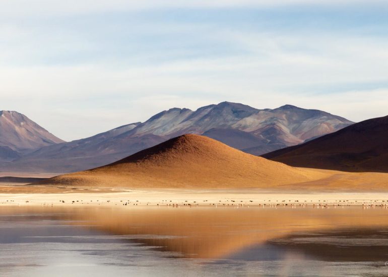
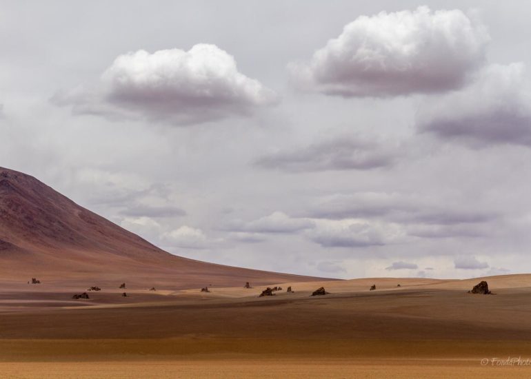
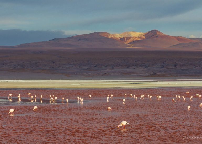
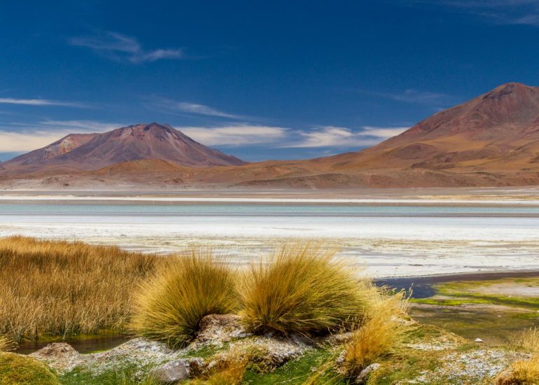
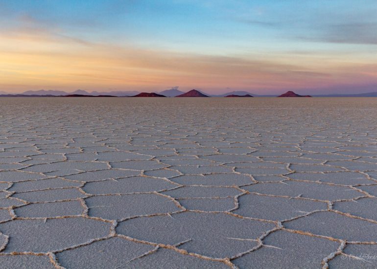
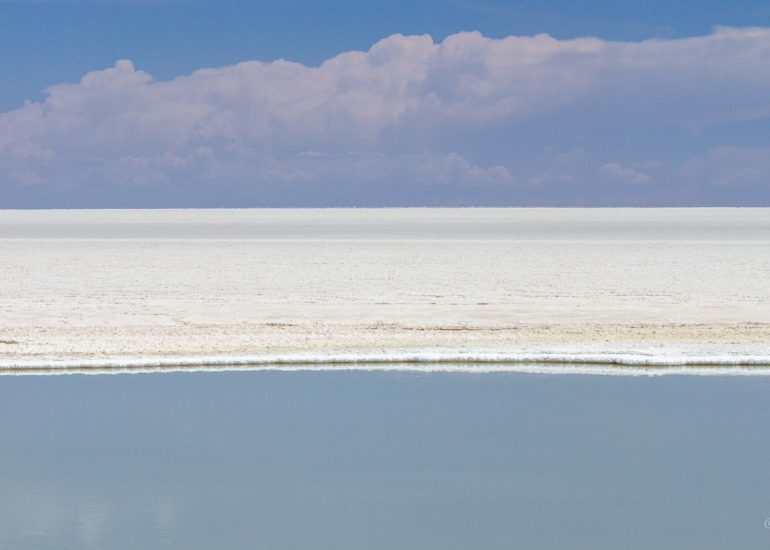
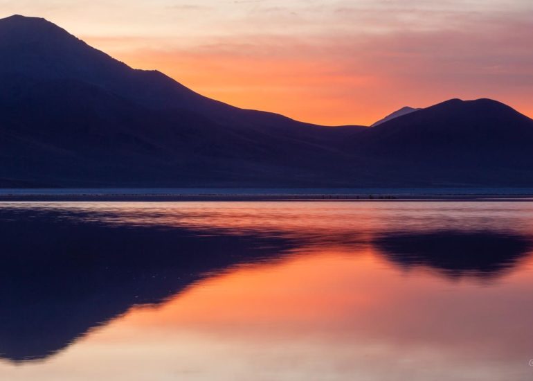
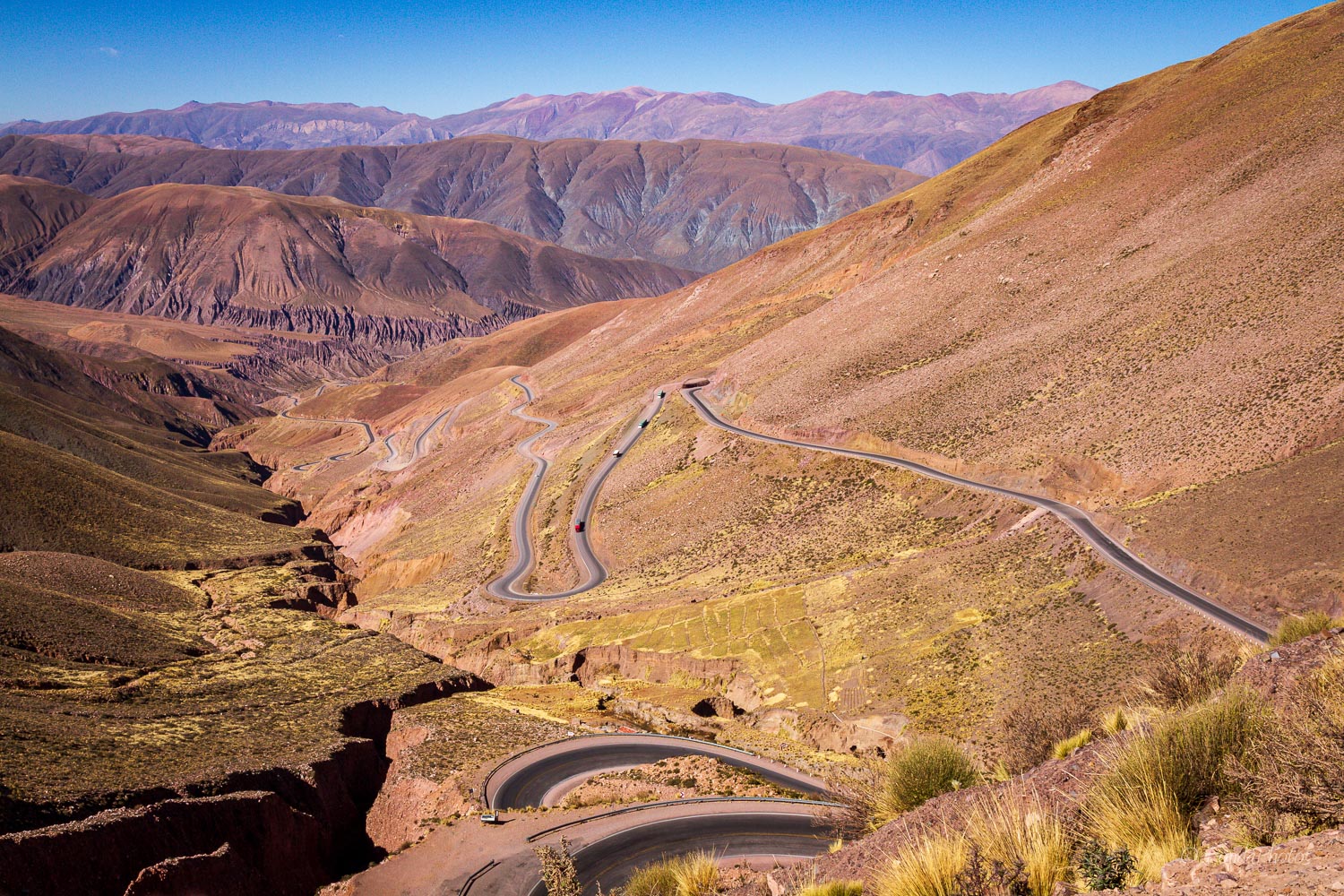
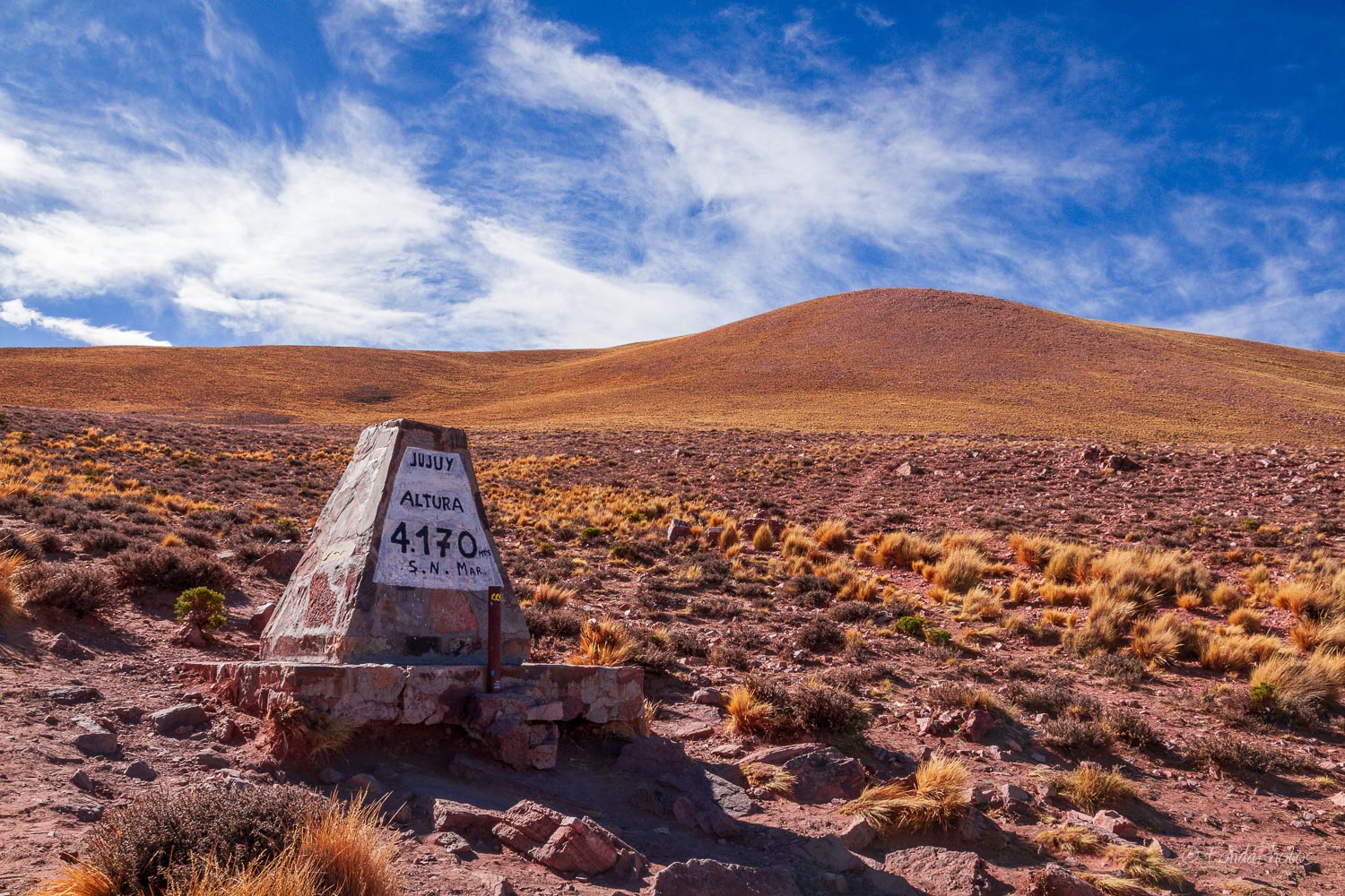
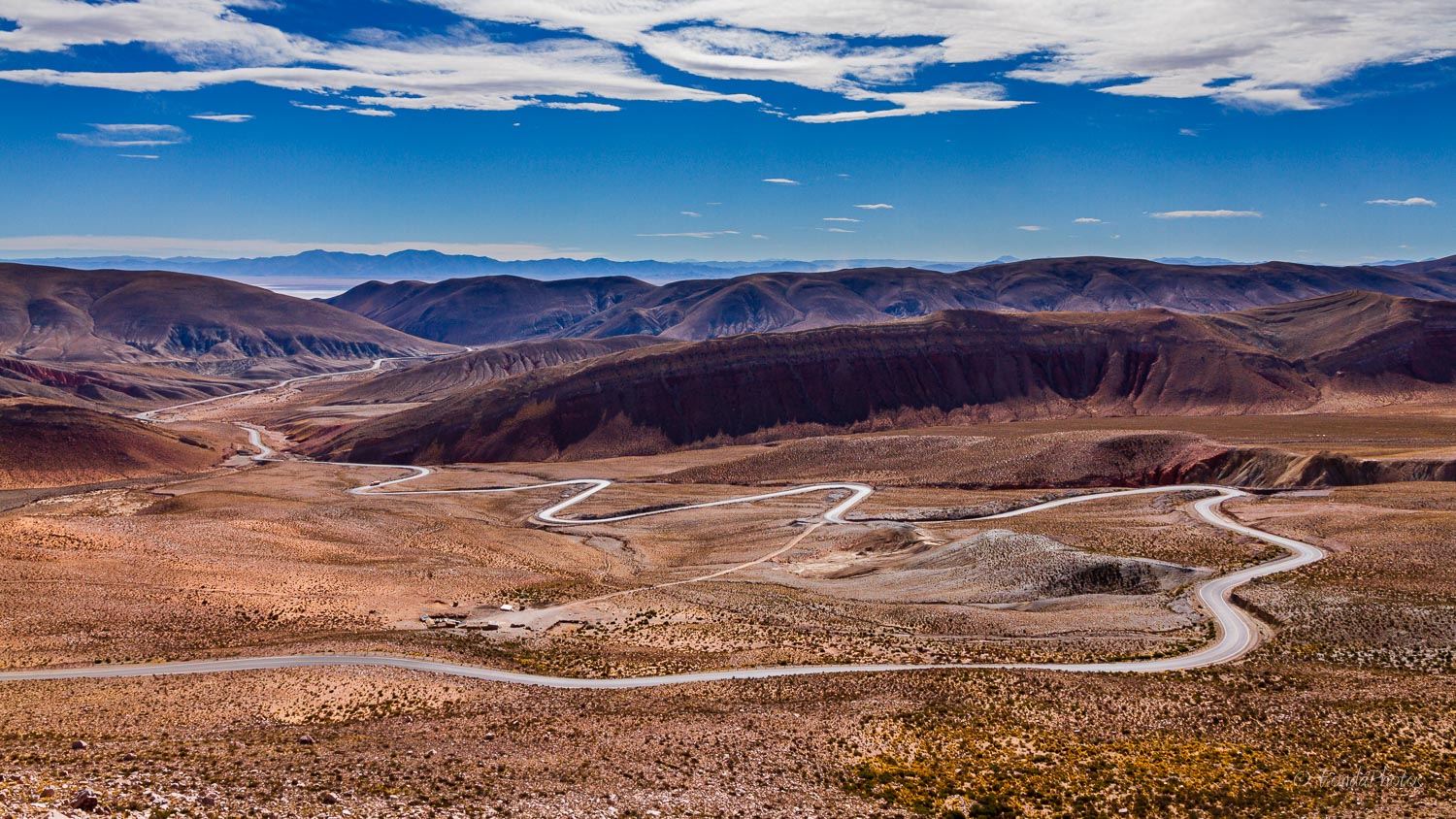
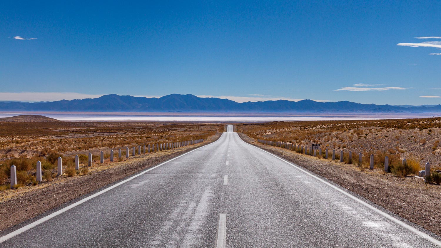
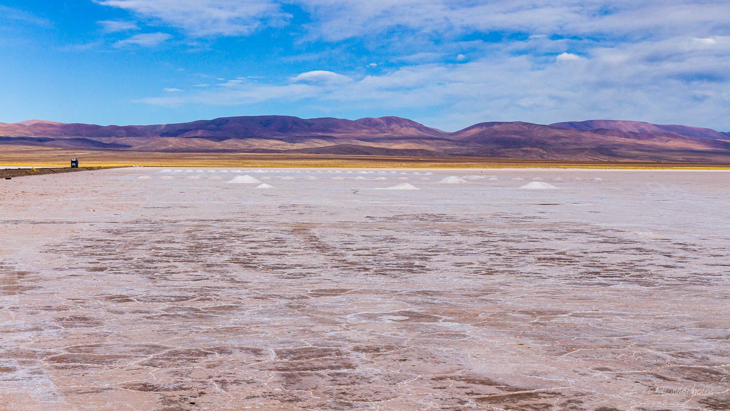
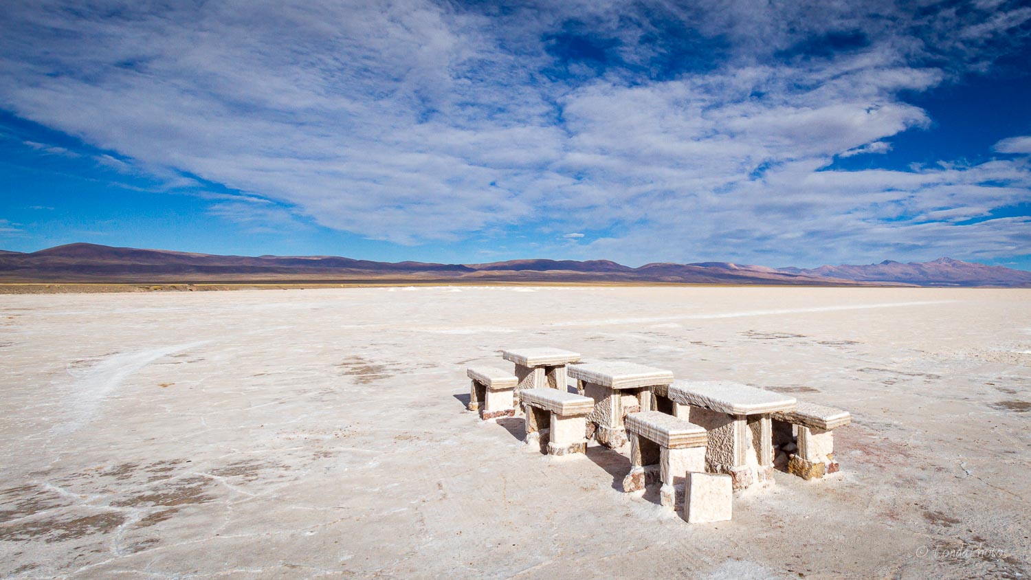
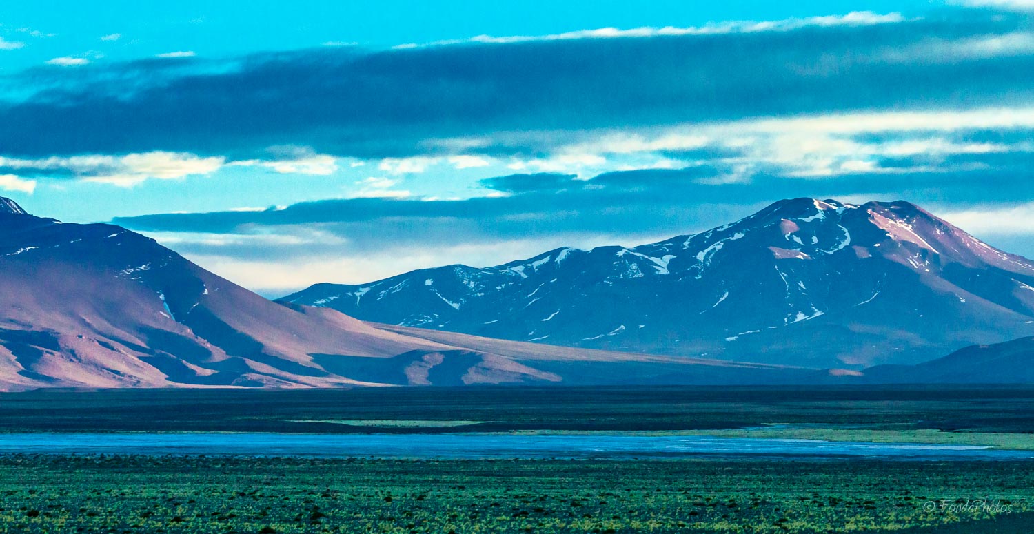
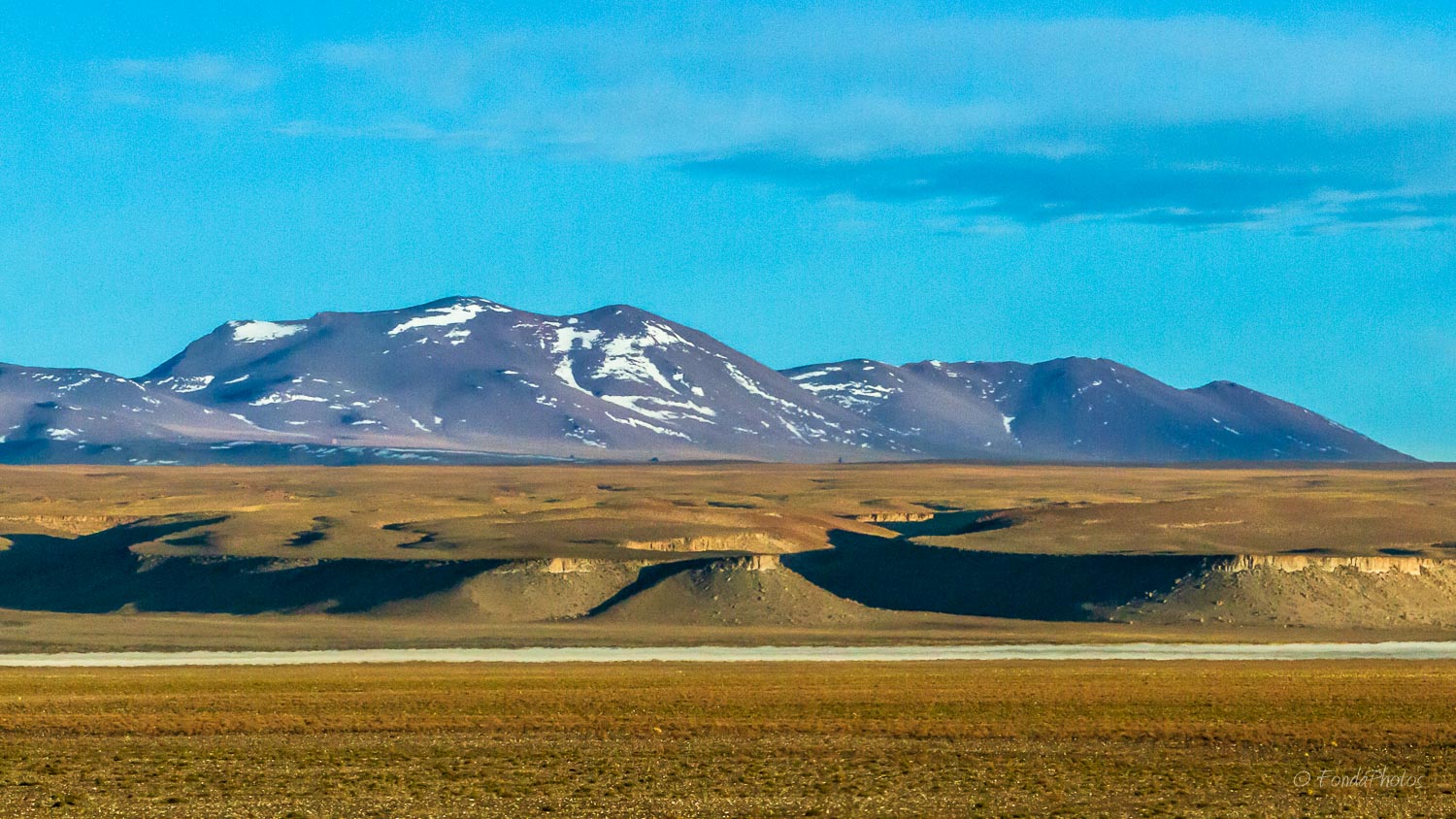
The first section of Route 52 after the small village of Purmamarca is really impressive. It goes up 2,000m, meandering in its ascent through Cuesta del Lipán before reaching a pass called Abra de Potrerillos at an elevation of 4.170 m. After that, it descends towards Salinas Grandes, the largest salt flat in Argentina. After Susques, Route 52 continues towards the border, winding around colorful lagunas with many volcanoes in the background.
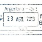
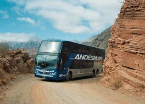
I traveled on this Route with my family during the night of August 22 to 23, 2013 using an Andesmar bus. We circled the Salar de Jama and arrived at the border post, at an elevation of 4,300m, just before 8am when the post opens. Really one of the most spectacular bus rides in the world!


