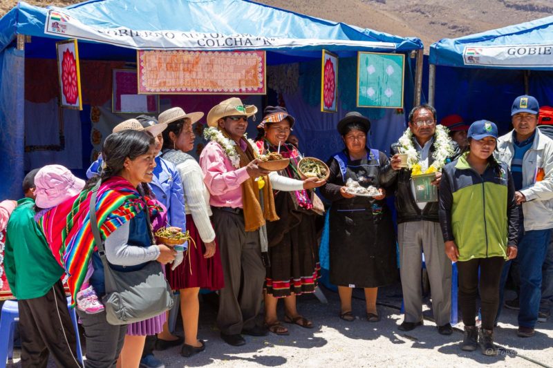
We left San Pedro de Quemes early in the morning and took a north-east direction towards Salar de Uyuni. We reached the salt flat near the village of Chuvica. By pure coincidence they were organizing their annual festival. Loud music, folkloric dancers, even a Bolivian Army brass band, many stalls with local food, clothes and artisanal products … It was organized in a barren place just on the edge of the salar. We spent a good hour with villagers and continued our way across the Salar.
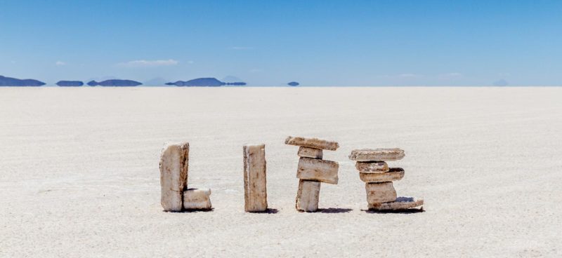
Next stop for lunch at a depot of salt blocks, freshly cut from the ground. Tourists have used them to create messages and small constructions positioned in all directions.
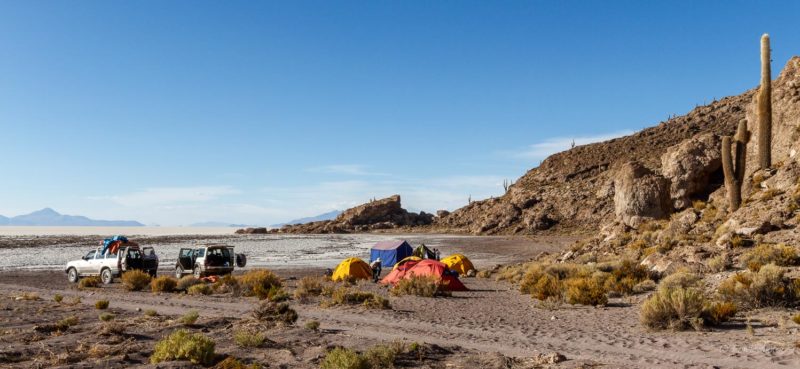
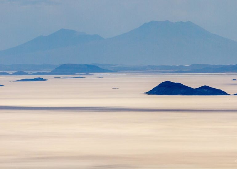
We continued our journey in a straight line north towards Isla Incahuasi (Island of the Inca) to collect our camping equipment. It’s located right in the center of the Salar, a very busy place, full of tourists, 4W vehicles and buses, we didn’t stay long. Direction northwest towards another island, Isla del Pescado, where we spent the night. We installed our camp on the opposite side of the island whose silhouette indeed looks like a big fish. We could then deploy tripods and start shooting the endless white flat until the end of day. Such a wonderful experience to benefit from this unique environment for ourselves!
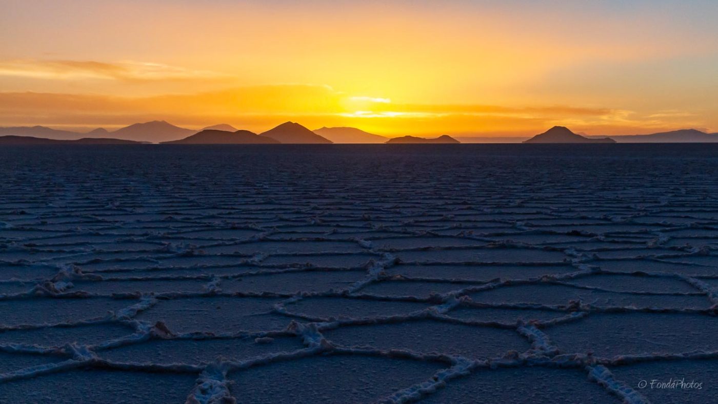
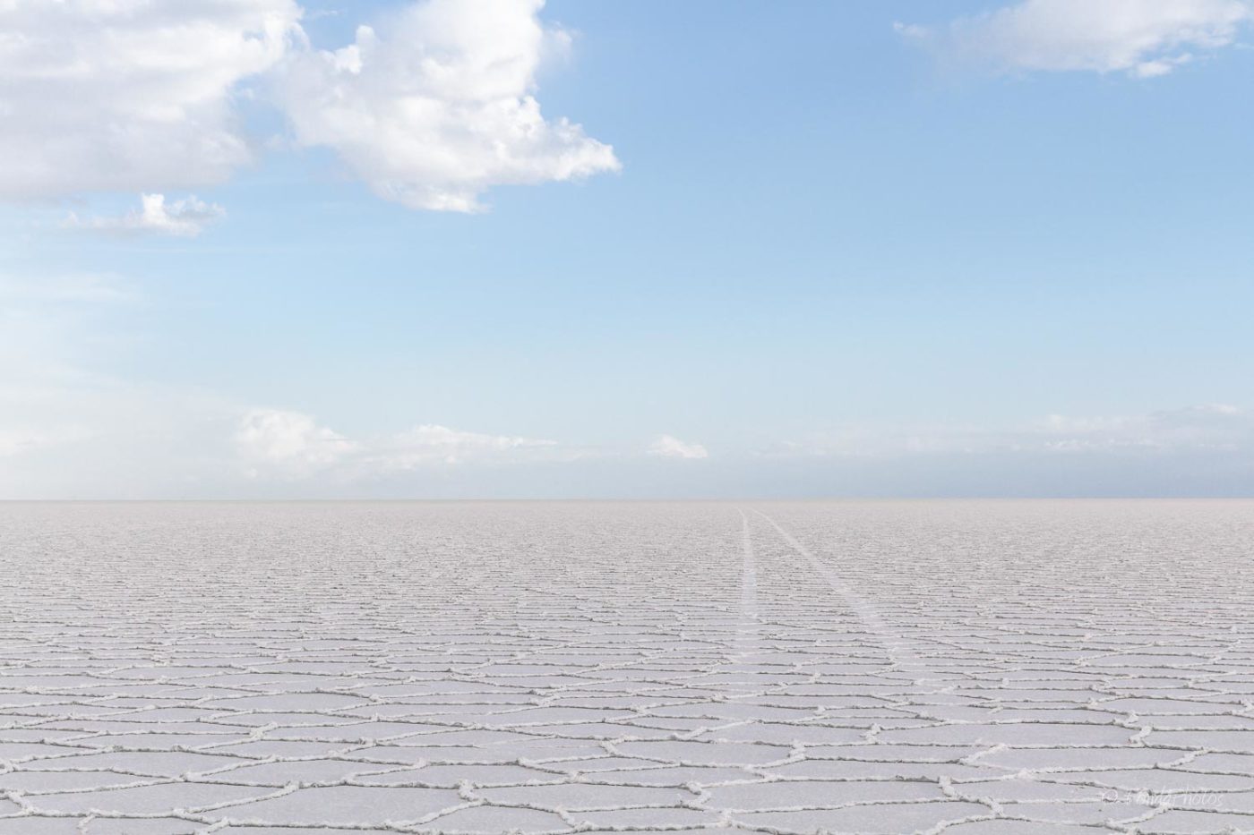
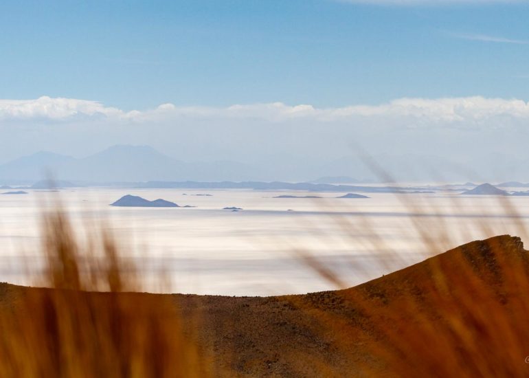
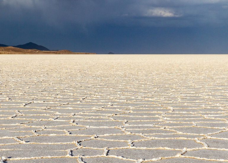
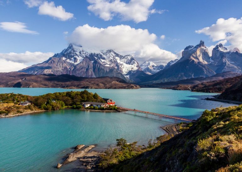
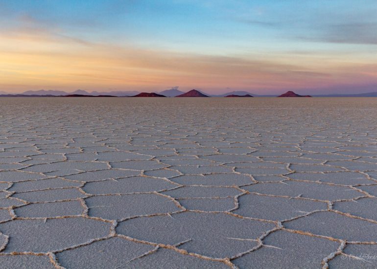
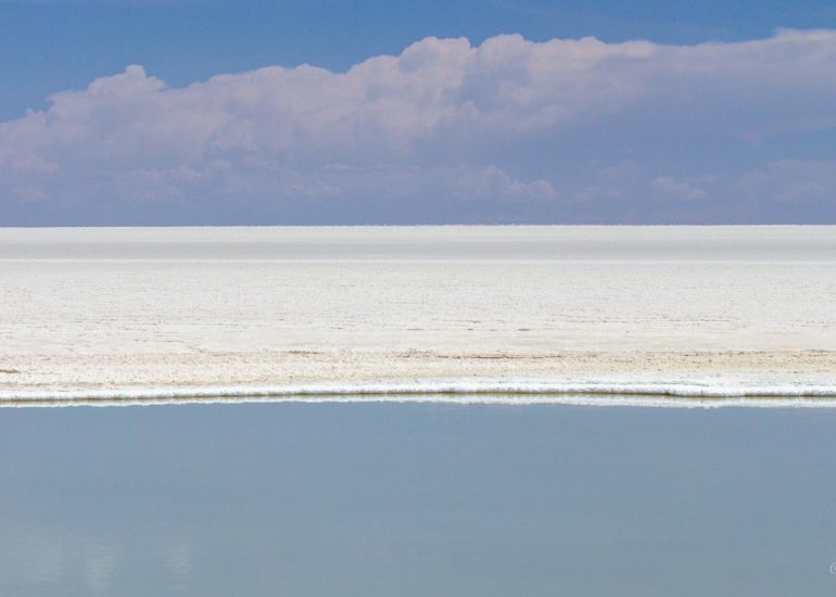
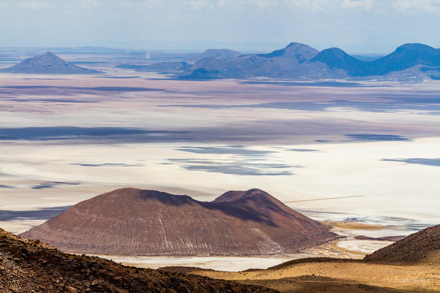
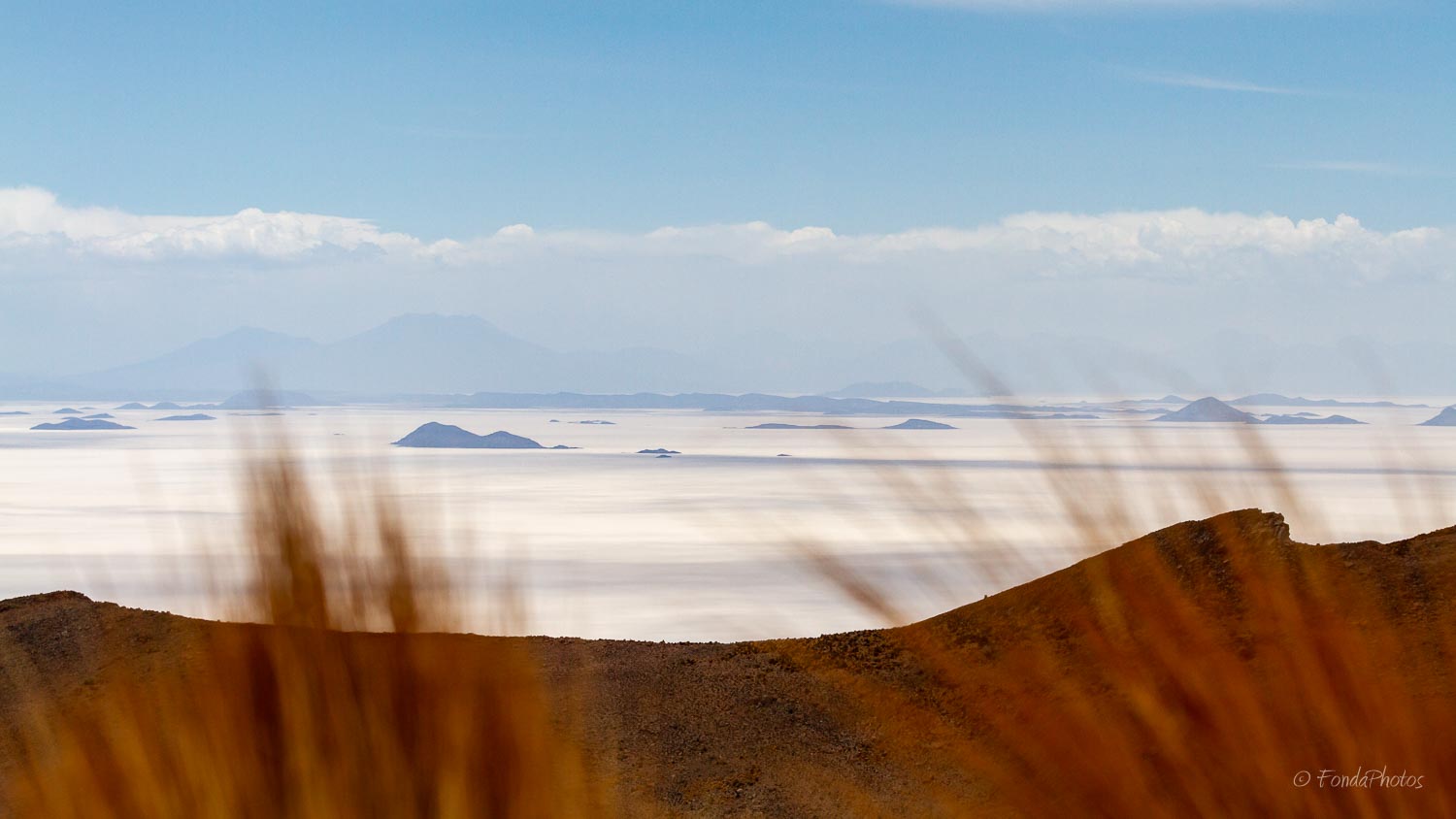
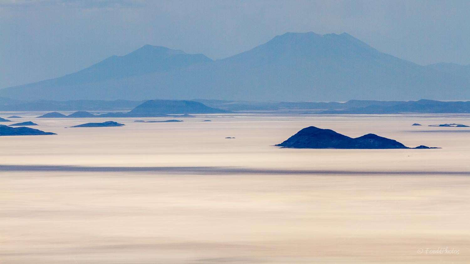
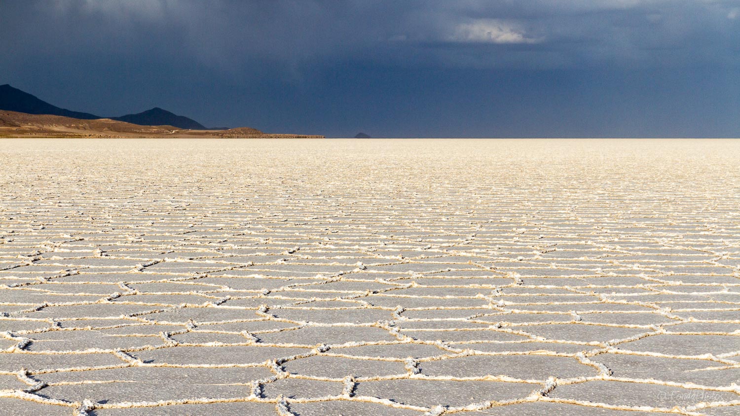
A few words about Salar de Uyuni: it is the largest salt flat in the world, almost 11,000 km2 at an elevation of 3,700m. Some 30,000 to 42,000 years ago, the area was part of a giant prehistoric lake, Lake Minchin. It contains a few islands, remains of the tops of ancient volcanoes submerged during the era of Lake Minchin. These islands are usually covered with giant cactuses. From a distance, they appear to be floating in the air, a phenomenon similar to mirages.
December 4, 2016
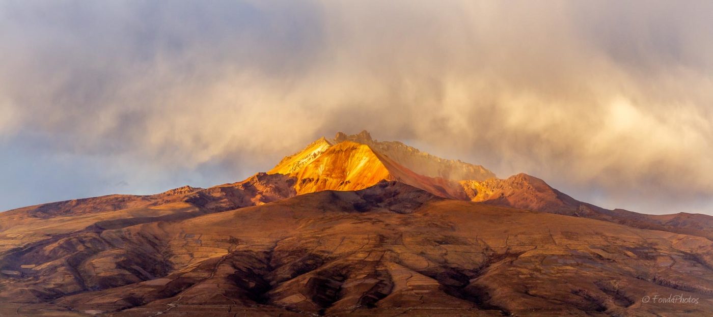
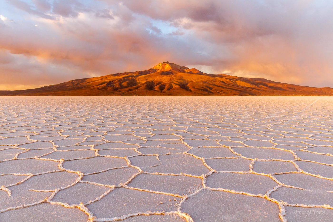
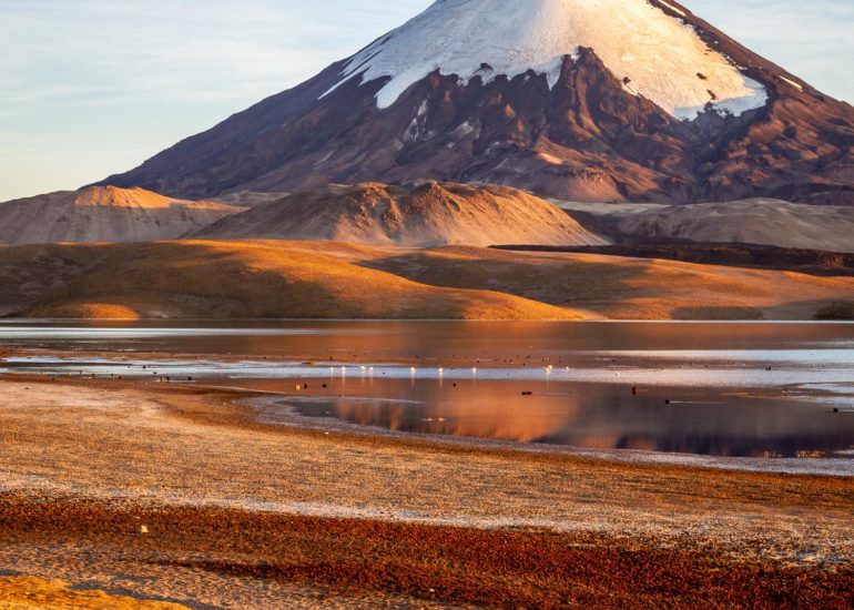
Next morning, after a short sleep on very firm mats, we enjoyed sunrise during an hour long shooting session, just before breakfast. After dismantling the camp, we set the course to the northeast, direction Coqueza, a small village on the northern edge of the Salar, immediately underneath the impressive Tunupa volcano which culminates at 5,400m.
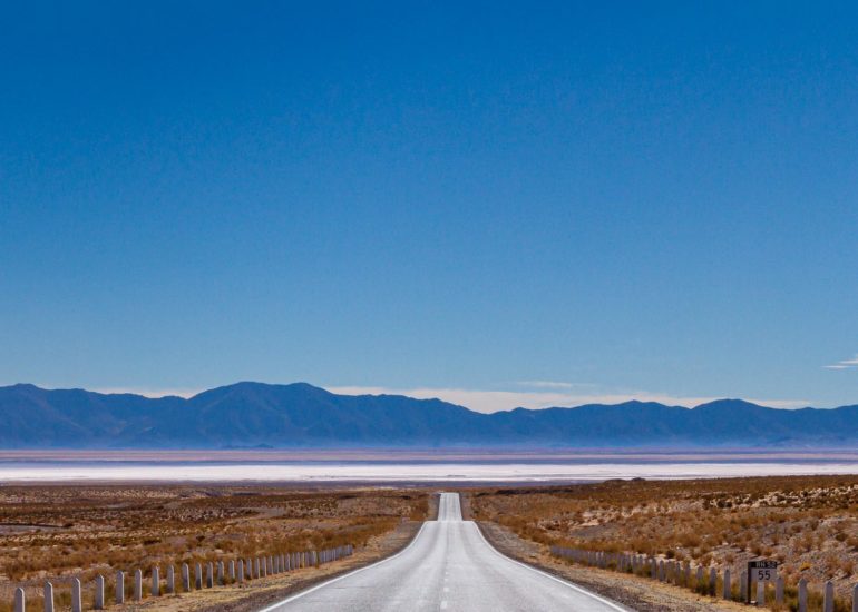
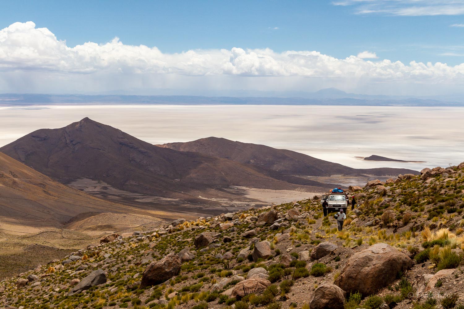
Driving on the Salar is similar to navigating at sea. There are no marked roads therefore you set a course to an island or a remarkable point and follow it. Unless you are experienced with the region, it is impossible for a first-time visitor to tell if a mountain or an island you can see in the distance is 5 or 30 km away. Strange but fantastic impression!
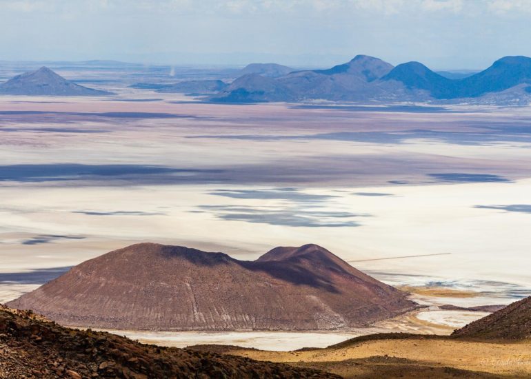
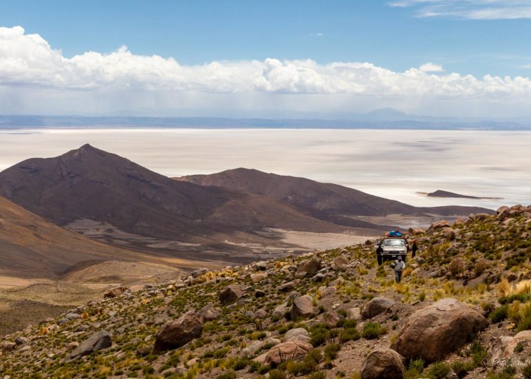
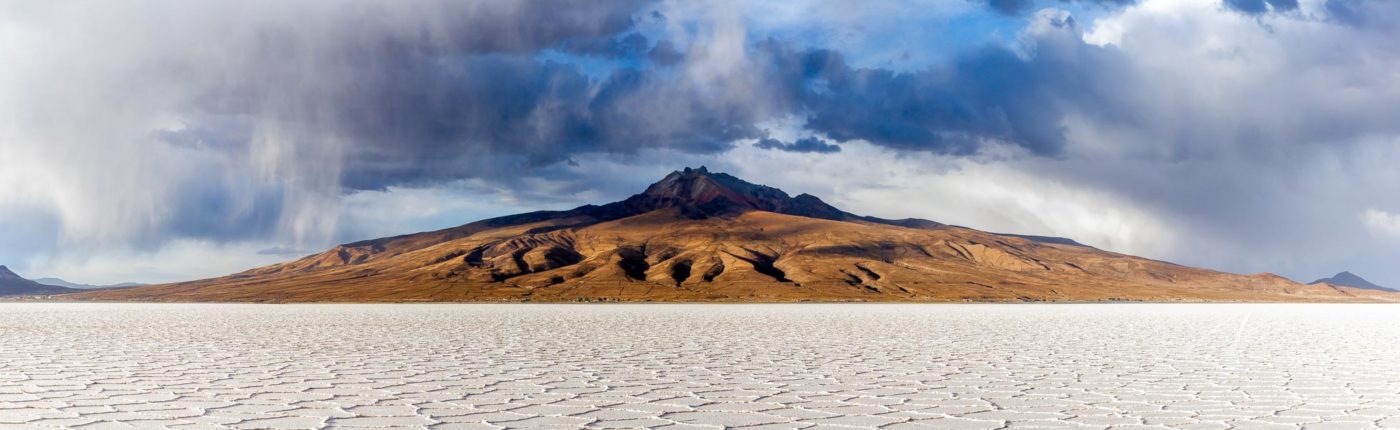
We dropped our bags and heavy equipment at a small hotel in Coqueza and headed for the Tunupa crater. The path was very chaotic and quite challenging for the two Land Cruisers but we finally managed to get close to the crater, 1600m above the Salar. We experienced a bit of rain but the views to the salt flat were just amazing!
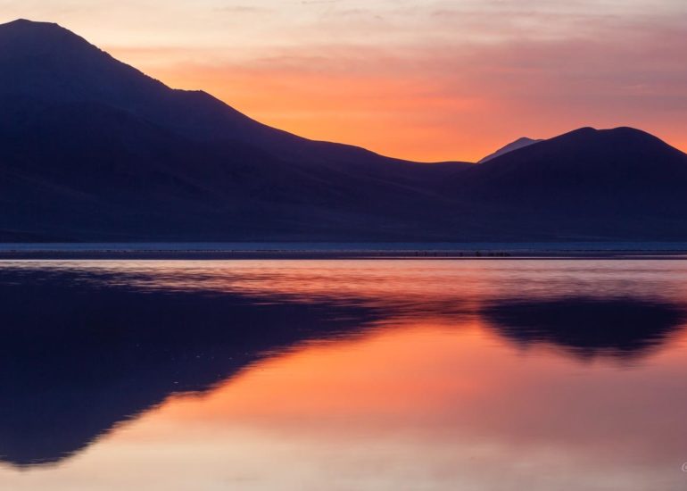
At the end of the day, we moved a bit south into the salt lake to get a good view of the volcano. Light was absolutely fantastic!
